Sary:SantaCatarina MesoMicroMunicip.svg

Rakitra niaviana (rakitra SVG, habe 1 481 × 990 teboka, habe : 662 kio)

|
Standardization of derivative maps
Feel free to create derivations of this work, but if you want to illustrate a Wikipedia article with derivative works of this or similar maps of Brazil, please strictly follow the visual standard, nomenclature and classification already in use. All maps of Brazilian subdivisions are being adaptated or created in this way. We do not want to inhibit creativity but the pattern adopted here was presented and accepted by the Lusophone community and should be followed whenever possible. |
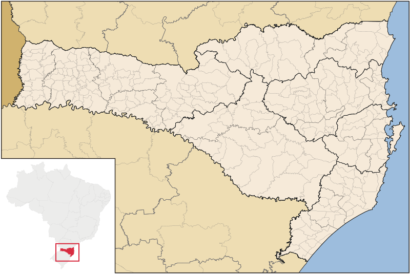
| Visavisa | Map of Santa Catarina state |
| Daty | |
| Loharano | Asan'ny tena |
| Mpamorona azy | Raphael Lorenzeto de Abreu |
| Alalana (Hampiasa ity rakitra ity indray) |
Moi, en tant que détenteur des droits d’auteur sur cette œuvre, je la publie sous la licence suivante : Ity rakita ity dia mitondra ny fahazoan-dalana Creative Commons Attribution-Share Alike 3.0 Unported
|
| Versiona hafa | Derivative works of this file: Brazil Santa Catarina location map.svg |
Tantara ny rakitra
Tsindrio eo amin'ny daty/ora iray mba hijery ny toetra n'ilay rakitra tamin'io fotoana io.
| Daty sy ora | saritapaka | Habe | Mpikambana | resaka | |
|---|---|---|---|---|---|
| ankehitriny | 8 Septambra 2006 à 04:52 | | 1 481 × 990 (662 kio) | Raphael.lorenzeto | |
| 2 Jiona 2006 à 10:47 |  | 943 × 691 (613 kio) | Raphael.lorenzeto | {{User:Raphael.lorenzeto/DerivativeMaps}} {{Information| |Description=Map of Santa Catarina state |Source=own work |Date=June, 2 2006 |Author=Raphael Lorenzeto de Abreu |Permission={{self2|GFDL|cc-by-2.5}} |other_versions= }} [[Category:Maps of Santa Cata |
Fampiasana an'io rakitra io
Tsy misy pejy mampiasa an'ity rakitra ity.
Fampiasan-drakitra maneran-tontolo
Mampiasa ity rakitra ity ireo wiki hafa ireo:
- Fampiasana eo amin'i br.wikipedia.org
- Fampiasana eo amin'i eo.wikipedia.org
- Fampiasana eo amin'i es.wikipedia.org
- Fampiasana eo amin'i et.wikipedia.org
- Fampiasana eo amin'i fi.wikipedia.org
- Fampiasana eo amin'i fr.wikipedia.org
- Fampiasana eo amin'i oc.wikipedia.org
- Florianópolis
- Joinville (Santa Catarina)
- Balneário Camboriú
- Blumenau
- Itajaí
- Araranguá
- Biguaçu
- Chapecó
- Criciúma
- Abdon Batista (Santa Catarina)
- Abelardo Luz
- Agrolândia
- Agronômica
- Alfredo Wagner
- Alto Bela Vista
- Anchieta (Santa Catarina)
- Angelina (Santa Catarina)
- Anita Garibaldi (Santa Catarina)
- Anitápolis
- Antônio Carlos (Santa Catarina)
- Apiúna
- Arabutã
- Araquari
- Armazém (Santa Catarina)
- Arroio Trinta
- Arvoredo
- Ascurra
- Aurora (Santa Catarina)
- Balneário Arroio do Silva
- Balneário Barra do Sul
- Balneário Gaivota
- Balneário Piçarras
- Bandeirante (Santa Catarina)
- Barra Bonita (Santa Catarina)
- Barra Velha
- Bela Vista do Toldo
Hijery fampiasana eran-terikasan'ity rakitra ity.