Sary:Map of the Philippines Demis.png

Haben'ny topi-maso: 397 × 599 teboka. Habe hafa: 159 × 240 teboka | 318 × 480 teboka | 814 × 1 228 teboka
Rakitra niaviana (814 × 1 228 teboka, haben'ilay rakitra : 299 kio, endrika MIME : image/png)
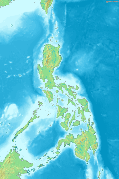
Map of the Philippines
Bounding box West 115.5°, South 3.7°, East 129°, North 23.5°. Center at 13°36′00″N 122°15′00″E / 13.60000°N 122.25000°E.
This image is in the public domain because it came from the site https://www.demis.nl/products/web-map-server/examples/ and was released by the copyright holder. Permission is granted to copy, distribute and/or modify this map since it is based on free of copyright images from: www.demis.nl. See also approval email on de.wp and its clarification.
|
| This work has been released into the public domain by its copyright holder, www.demis.nl. This applies worldwide. Dans certains pays, ceci peut ne pas être possible ; dans ce cas : www.demis.nl accorde à toute personne le droit d’utiliser cette œuvre dans n’importe quel but, sans aucune condition, sauf celles requises par la loi.
|
Tantara ny rakitra
Tsindrio eo amin'ny daty/ora iray mba hijery ny toetra n'ilay rakitra tamin'io fotoana io.
| Daty sy ora | saritapaka | Habe | Mpikambana | resaka | |
|---|---|---|---|---|---|
| ankehitriny | 20 Desambra 2006 à 18:04 | | 814 × 1 228 (299 kio) | Mats Halldin~commonswiki | Map of the Philippines Bounding box West 115.5°, South 3.7°, East 129°, North 23.5°. Center at {{coor d|13.60000|N|122.25000|E|scale:11880000}}. {{demis-pd}} Category:Maps of the Philippines |
Fampiasana an'io rakitra io
Mampiasa ity rakitra ity io pejy io:
Fampiasan-drakitra maneran-tontolo
Mampiasa ity rakitra ity ireo wiki hafa ireo:
- Fampiasana eo amin'i diq.wikipedia.org
- Fampiasana eo amin'i en.wikipedia.org
- Fampiasana eo amin'i eo.wikipedia.org
- Fampiasana eo amin'i es.wikipedia.org
- Fampiasana eo amin'i la.wikipedia.org
- Fampiasana eo amin'i sq.wikipedia.org
- Fampiasana eo amin'i sv.wikipedia.org
- Fampiasana eo amin'i uk.wikipedia.org